
Maps, Atlases, and Geospatial Data
A selection of geographic maps, atlases, and geospatial data recommended for the study of Northern Quebec, Northern Canada, and the circumpolar North.
Some of the documents and data are freely available while others are restricted to members of the universities mentioned (restricted access), and are available under institutional licenses only. Atlases available in print format only are also recommended.
To consult the various categories and subcategories that this collection contains, use the filter Collection.
Resources
The Danish Arctic Institute digital collections
Four distinct digitized collections available in open access grouped together on the same research platform. There are around 175,000 photographs (fotografier), around fifty old maps (kort), more than 2,000 artefacts (kunst og genstande) as well as 445 audio recordings (lyd). The site is partially translated into English.
Collection(s): *** Archives and Primary Sources ***, *** Maps, Atlases and Geospatial Data ***, Maps and Atlases, Old Maps
Free - Open Access, Humanities and Social Sciences
Subjects: Greenland, History, Photographs, Artifacts, Maps
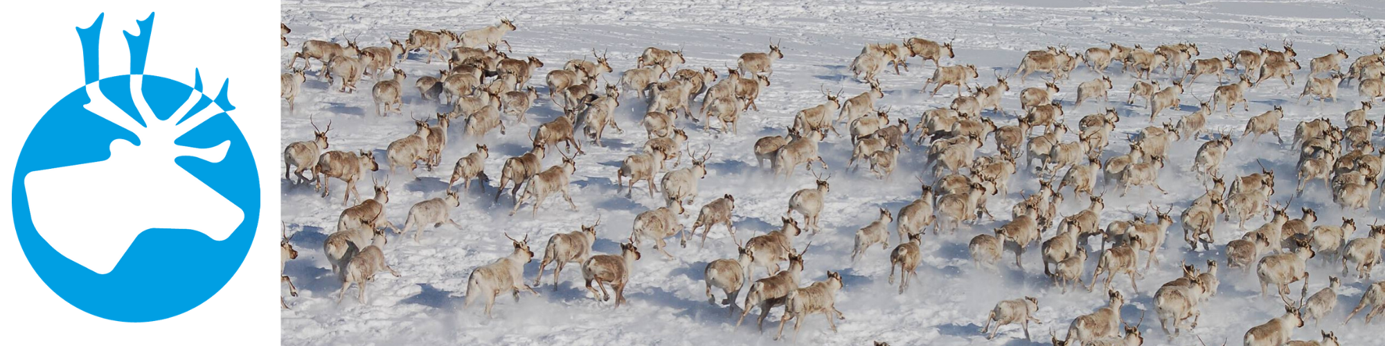
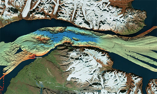
The North Data (Gouvernement du Canada)
A selection of geospatial data from Natural Resources Canada on geology, ice, snow, the seabed, etc.
Collection(s): *** Maps, Atlases and Geospatial Data ***, Geospatial Data, Northern Canada
Free - Open Access, Natural Sciences
Subjects: Canada, Geospatial data, Seabed, Geology, Ice, Snow
Topographic maps (NTS 13: Côte-Nord) (BAnQ)
Corpus of topographic maps of the North Shore of Quebec at a scale of 1: 50,000. The first level NTS number representing the geographic area concerned is 13.
Collection(s): *** Maps, Atlases and Geospatial Data ***, Maps and Atlases, Northern Quebec
Free - Open Access, Natural Sciences
Subjects: Topographic maps, Côte-Nord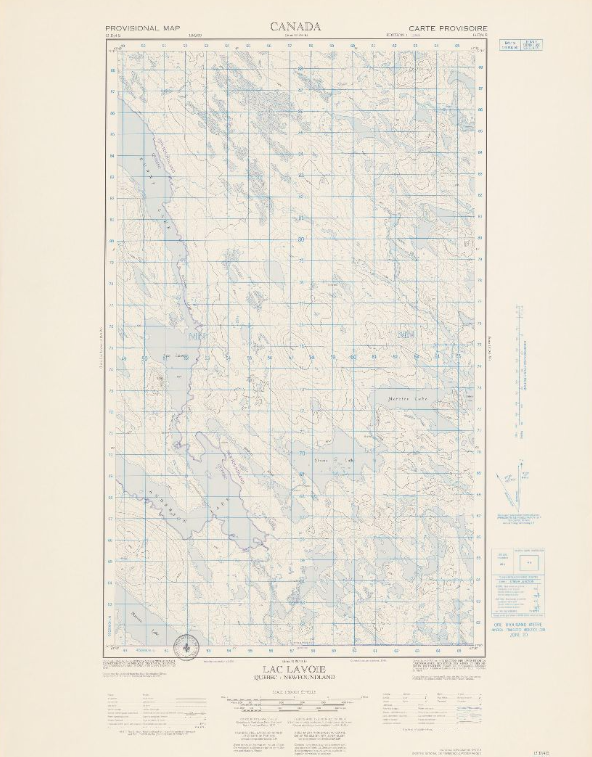
Topographic maps (NTS 14: Nord-du-Québec) (BAnQ)
Corpus of topographic maps of Nord-du-Québec at a scale of 1: 50,000. The first-level NTS number representing the geographic area concerned is 14.
Collection(s): *** Maps, Atlases and Geospatial Data ***, Maps and Atlases, Northern Quebec
Free - Open Access, Natural Sciences
Subjects: Topographic maps, Northern Quebec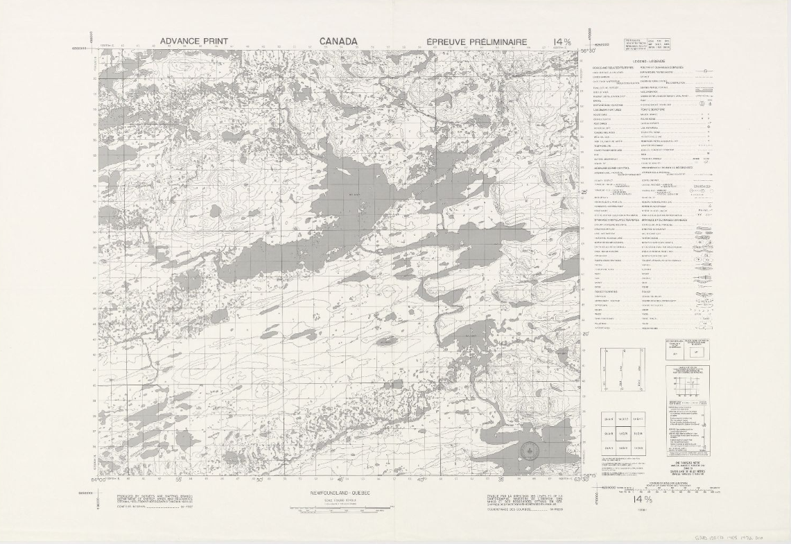
Topographic maps (NTS 24: Nord-du-Québec) (BAnQ)
Corpus of topographic maps of Nord-du-Québec at a scale of 1: 50,000. The NTS number representing the geographic area concerned is 24.
Collection(s): *** Maps, Atlases and Geospatial Data ***, Maps and Atlases, Northern Quebec
Free - Open Access, Natural Sciences
Subjects: Topographic maps, Northern Quebec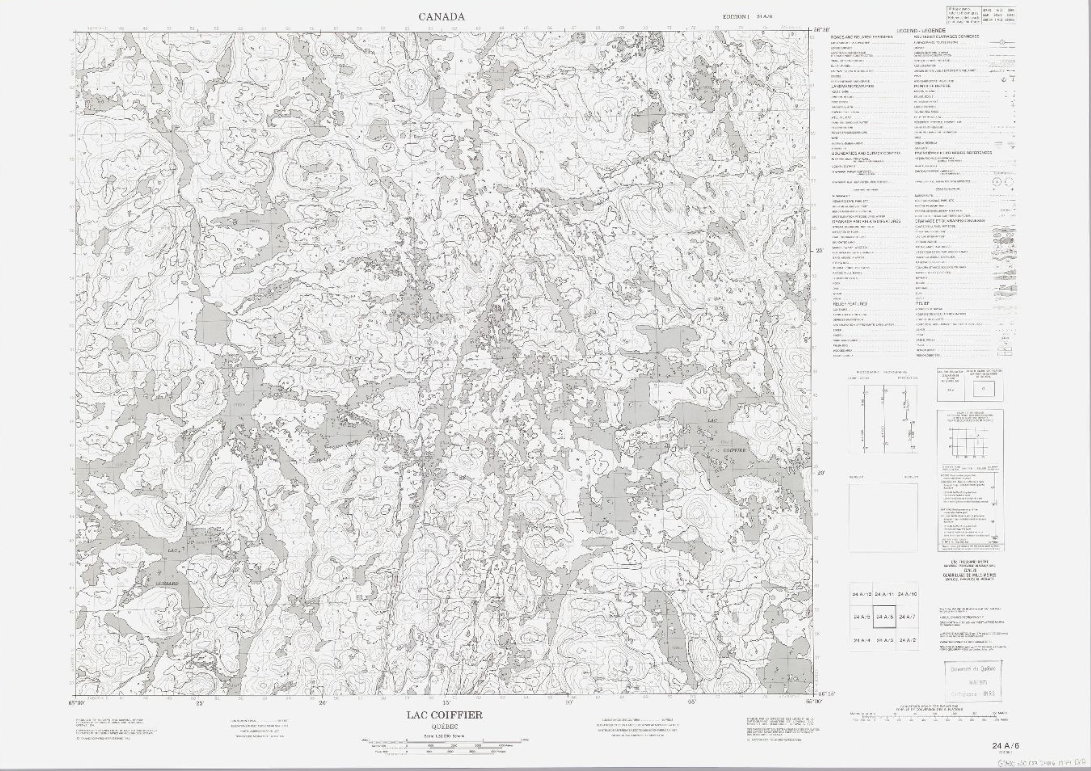
Topographic maps (NTS 25: Nord-du-Québec) (BAnQ)
Corpus of topographic maps of Nord-du-Québec at a scale of 1: 50,000. The NTS number representing the geographic area concerned is 25.
Collection(s): *** Maps, Atlases and Geospatial Data ***, Maps and Atlases, Northern Quebec
Free - Open Access, Natural Sciences
Subjects: Topographic maps, Northern Quebec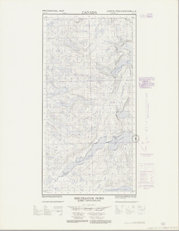
Topographic maps (NTS 33: Nord-du-Québec) (BAnQ)
Corpus of topographic maps of Nord-du-Québec at the scale of 1: 50,000. The NTS number representing the geographic area concerned is 33.
Collection(s): *** Maps, Atlases and Geospatial Data ***, Maps and Atlases, Northern Quebec
Free - Open Access
Subjects: Topographic maps, Northern Quebec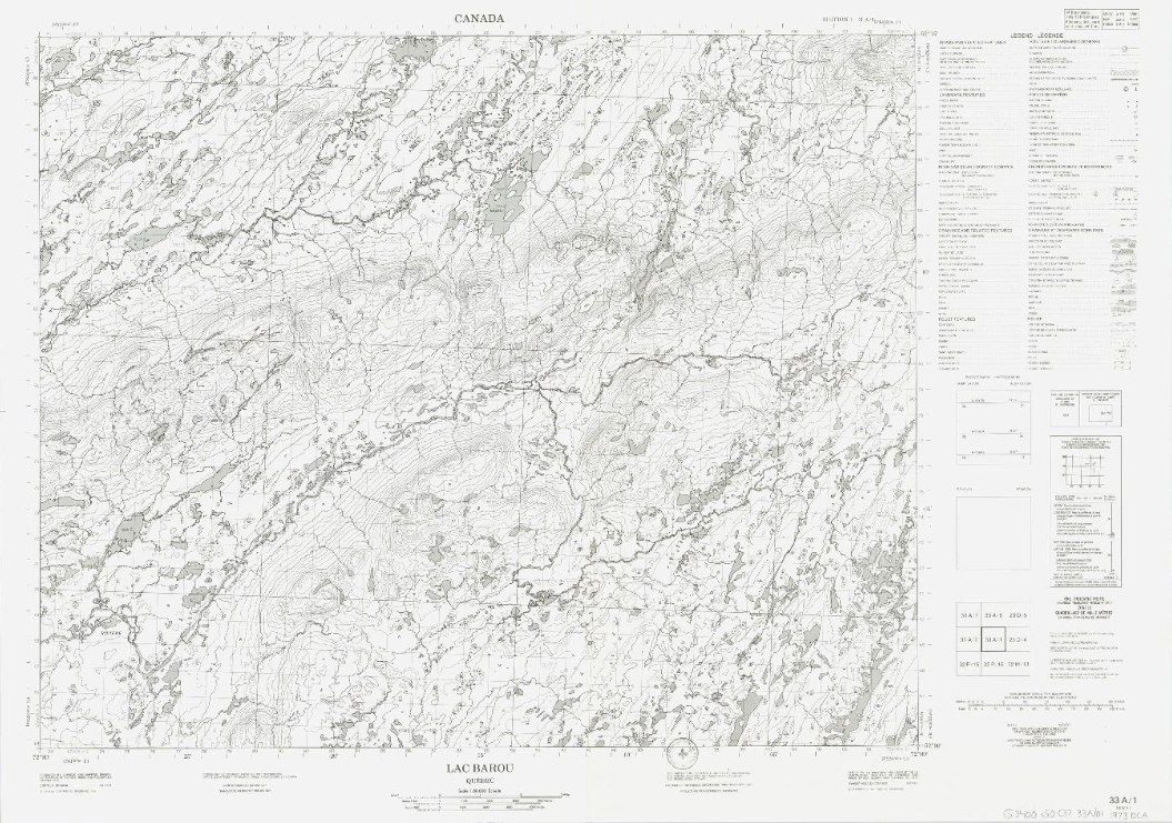
Topographic maps (NTS 34: Nord-du-Québec) (BAnQ)
Corpus of topographic maps of Nord-du-Québec at the scale of 1: 50,000. The NTS number representing the geographic area concerned is 34.
Collection(s): *** Maps, Atlases and Geospatial Data ***, Maps and Atlases, Northern Quebec
Free - Open Access, Natural Sciences
Subjects: Topographic maps, Northern Quebec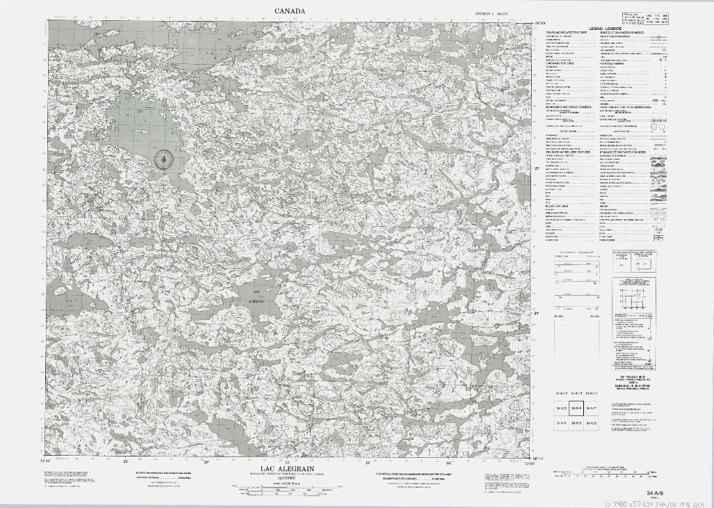
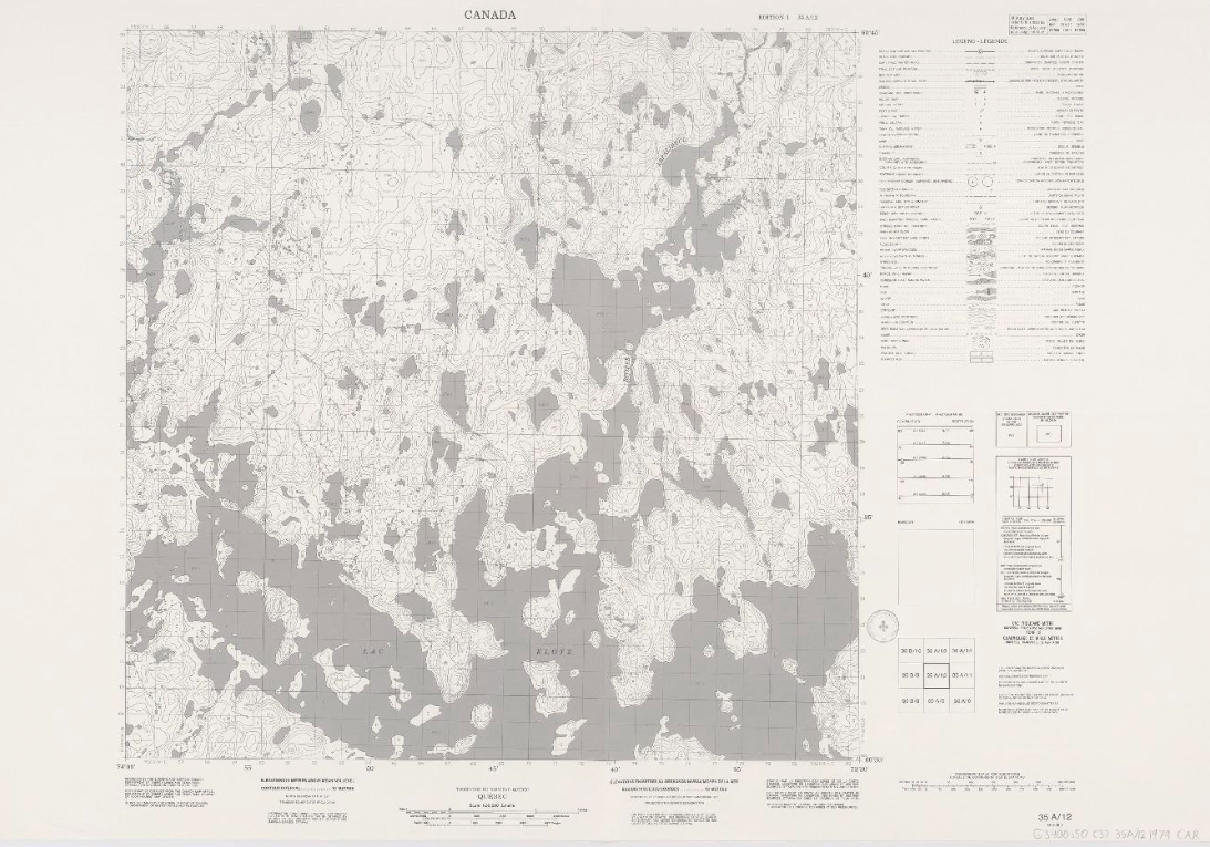
Topographic maps (NTS 35: Nord-du-Québec) (BAnQ)
Corpus of topographic maps of Nord-du-Québec at the scale of 1: 50,000. The NTS number representing the geographic area concerned is 35.
Collection(s): *** Maps, Atlases and Geospatial Data ***, Maps and Atlases, Northern Quebec
Free - Open Access, Natural Sciences
Subjects: Topographic maps, Northern Quebec