
Maps, Atlases, and Geospatial Data
A selection of geographic maps, atlases, and geospatial data recommended for the study of Northern Quebec, Northern Canada, and the circumpolar North.
Some of the documents and data are freely available while others are restricted to members of the universities mentioned (restricted access), and are available under institutional licenses only. Atlases available in print format only are also recommended.
To consult the various categories and subcategories that this collection contains, use the filter Collection.
Resources
Circumpolar Health Atlas
BAnQ (Print Book) | Laval (Print Book) | McGill (Reserved Access) | UQAM (eBook) | UQTR (eBook)
Uses maps, tables, charts, and images to describe and explain the major health problems of the diverse peoples who inhabit the circumpolar region of the northern hemisphere.
Collection(s): *** First Peoples of the North ***, Maps, Atlases, and Geospatial Data, Map and Atlases, Circumpolar North, *** Maps, Atlases and Geospatial Data ***, Maps and Atlases, Circumpolar North, *** Dictionaries and Encyclopedias ***, Health Sciences
Print Document, Reserved Access, Health Sciences
Subjects: Atlas, Indigenous peoples, Maps, Social determinants of health, Circumpolar North, Health, Medical care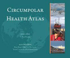
Couche de la végétation du Nord québécois (Géoindex)
Concordia (Reserved Access) | INRS (Reserved Access) | Laval (Reserved Access) | McGill (Reserved Access) | UQAM (Reserved Access) | UQTR (Reserved Access)
A collection of 2 layers of geospatial data illustrating settlements and logging roads between the 53rd and 55th parallels.
Collection(s): *** Maps, Atlases and Geospatial Data ***, Geospatial Data, Northern Quebec
Reserved Access, Natural Sciences
Subjects: Forestry roads, Geospatial data, Northern Quebec, Forest stands, Vegetation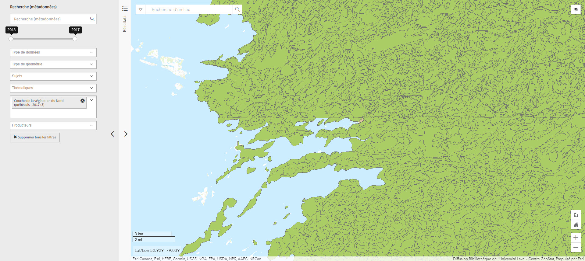
Couche des composantes d'utilisation géographique régionale (BGR) – 2015 (Géoindex)
Concordia (Reserved Access) | INRS (Reserved Access) | Laval (Reserved Access) | UQAM (Reserved Access) | UQTR (Reserved Access)
A collection of 24 layers that show the position and type of elements that make up Quebec's regional geographic base, including energy facilities, ATV trails, snowshoe trails, wind turbines, etc.
Collection(s): *** Maps, Atlases and Geospatial Data ***, Geospatial Data, Northern Quebec
Reserved Access, Engineering and Technology, Humanities and Social Sciences, Natural Sciences
Subjects: Regional geographic base, Geospatial data, Energy equipment, Wind energy equipment, Quebec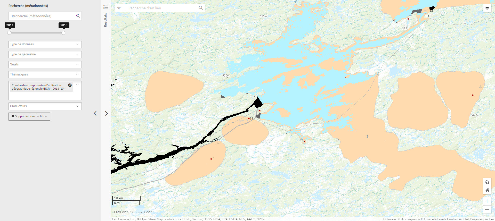
Current Daily Ice Analysis (U.S. National Ice Center)
Geospatial data on ice in the Arctic and Antarctic.
Collection(s): *** Maps, Atlases and Geospatial Data ***, Geospatial Data, Circumpolar North
Free - Open Access, Natural Sciences
Subjects: Pack ice, Geospatial data, Ice, Circumpolar North
Découpages socio-économiques (DSE 20K) 2017 (Géoindex)
Concordia (Reserved Access) | INRS (Reserved Access) | Laval (Reserved Access) | McGill (Reserved Access) | UQAM (Reserved Access) | UQTR (Reserved Access)
A collection of 7 layers of geospatial data for Quebec representing certain boundaries in the fields of health, elections, education, justice, and land.
Collection(s): *** First Peoples of the North ***, Maps, Atlases, and Geospatial Data, Geospatial Data, Northern Quebec, *** Maps, Atlases and Geospatial Data ***, Geospatial Data, Northern Quebec
Reserved Access, Humanities and Social Sciences
Subjects: Geospatial data, Education, Elections, Justice, Quebec, Health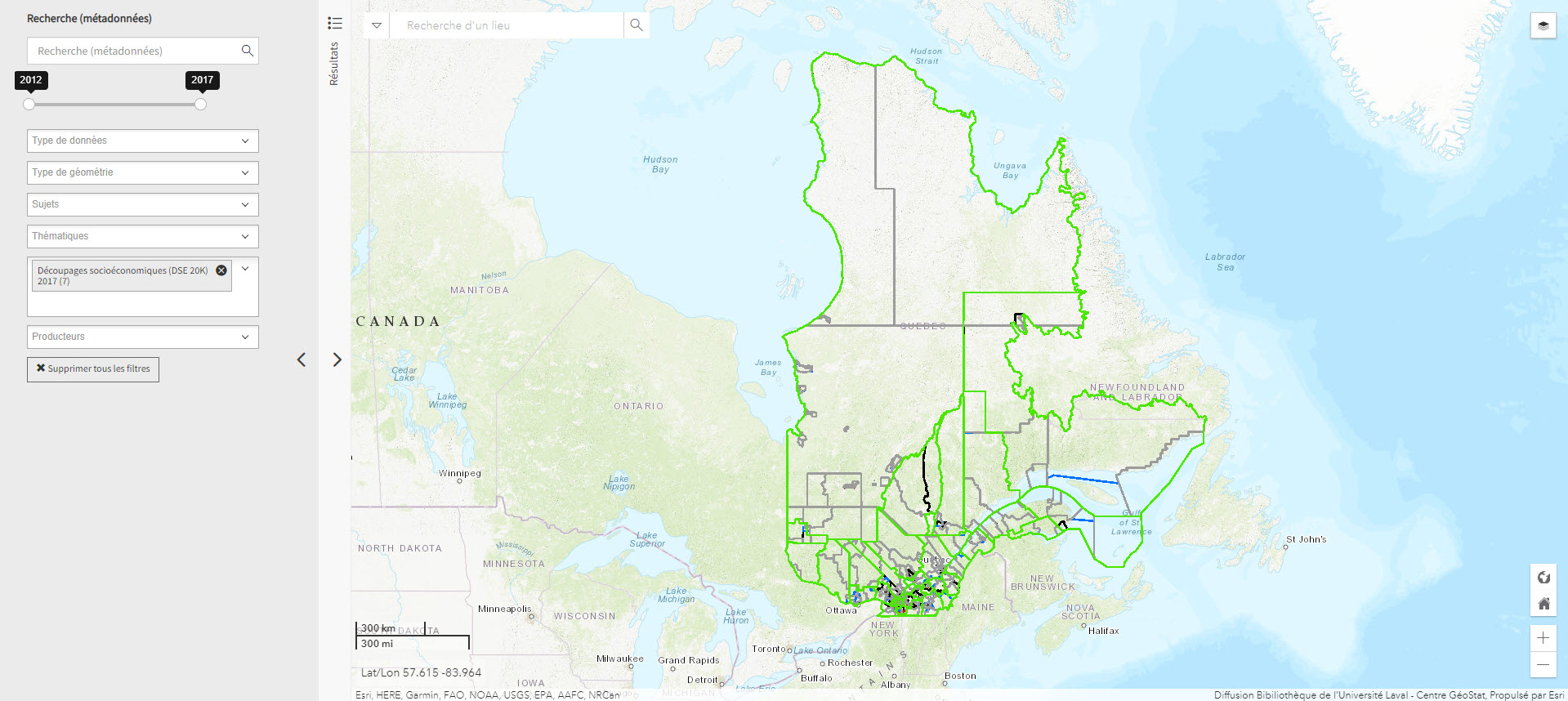
Données bathymétriques du NGCC Amundsen 2003-2014 (Géoindex)
Concordia (Reserved Access) | INRS (Reserved Access) | Laval (Reserved Access) | McGill (Reserved Access) | UQAM (Reserved Access) | UQTR (Reserved Access)
Layer representing bathymetry data collected by the CCGS Amundsen and other scientific vessels between 2003 and 2014. Each tile covers 30 minutes longitude by 15 minutes latitude.
Collection(s): *** Maps, Atlases and Geospatial Data ***, Geospatial Data, Northern Canada
Reserved Access, Natural Sciences
Subjects: Canadian arctic, Bathymetry, Bathymetric data, Geospatial data, NGCC Amundsen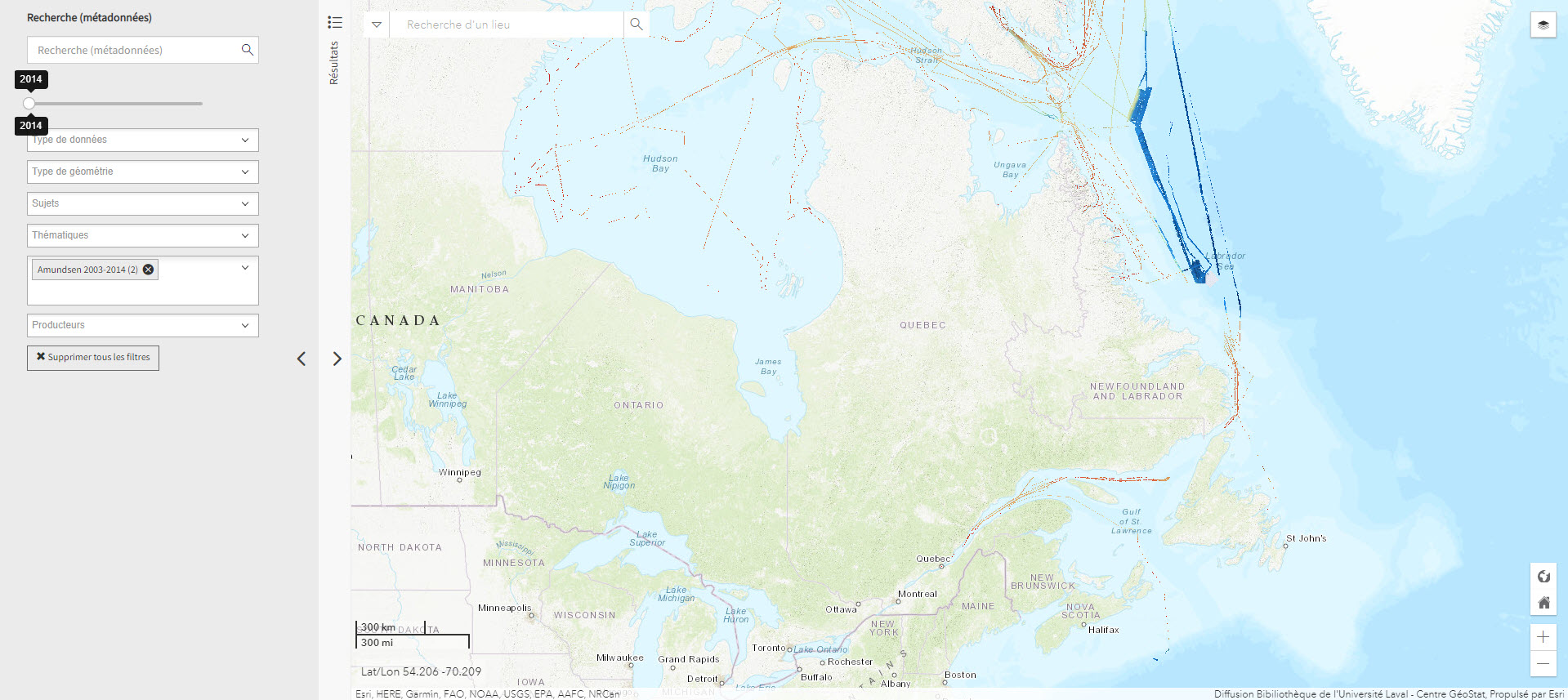
Données Québec - Environnement, ressources naturelles et énergie (Gouvernement du Québec)
Selection of geospatial data from Quebec's Department of Energy and Natural Resources.
Collection(s): *** Maps, Atlases and Geospatial Data ***, Geospatial Data, Northern Quebec
Free - Open Access, Engineering and Technology, Natural Sciences
Subjects: Cartography, Geospatial data, Energy, Quebec, Natural resources
Expédition Coppermine (1819-1822) (Géoindex)
Available to all (Connect as a guest)
This collection of 6 layers of geospatial data is a spatial and historical reference tool on the Coppermine expedition headed by British explorer John Franklin between 1819 and 1822. An educational and research tool for the polar regions.
Collection(s): *** Maps, Atlases and Geospatial Data ***, Geospatial Data, Northern Canada
Reserved Access, Humanities and Social Sciences, Natural Sciences
Subjects: Cartography, Geospatial data, Coppermine expedition, Exploration, John Franklin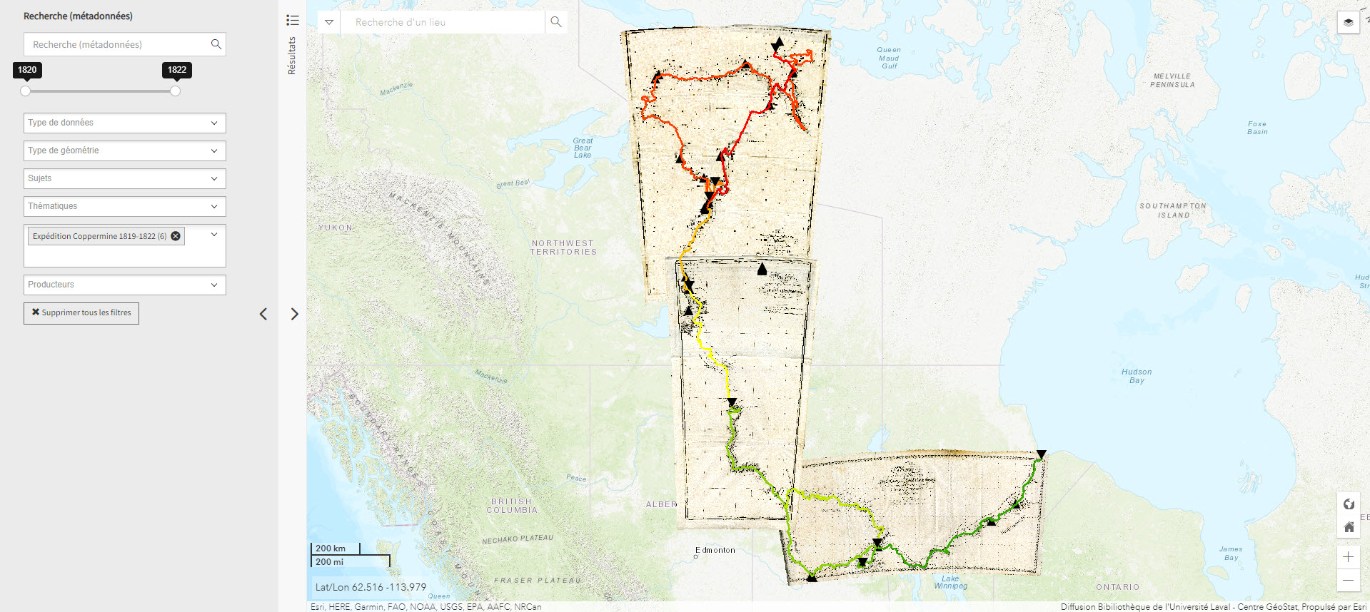
Fichier de limites cartographique de Statistiques Canada (2016) (Géoindex)
Concordia (Reserved Access) | INRS (Reserved Access) | Laval (Reserved Access) | McGill (Reserved Access) | UQAM (Reserved Access) | UQTR ( Reserved Access)
A collection of 13 layers of geospatial data representing the boundaries of census data release units by Statistics Canada. When used in conjunction with census data, these files are useful for thematic mapping.
Collection(s): *** First Peoples of the North ***, Maps, Atlases, and Geospatial Data, Geospatial Data, Northern Canada, *** Maps, Atlases and Geospatial Data ***, Geospatial Data, Northern Canada
Reserved Access, Humanities and Social Sciences
Subjects: Cartography, Geospatial data, Census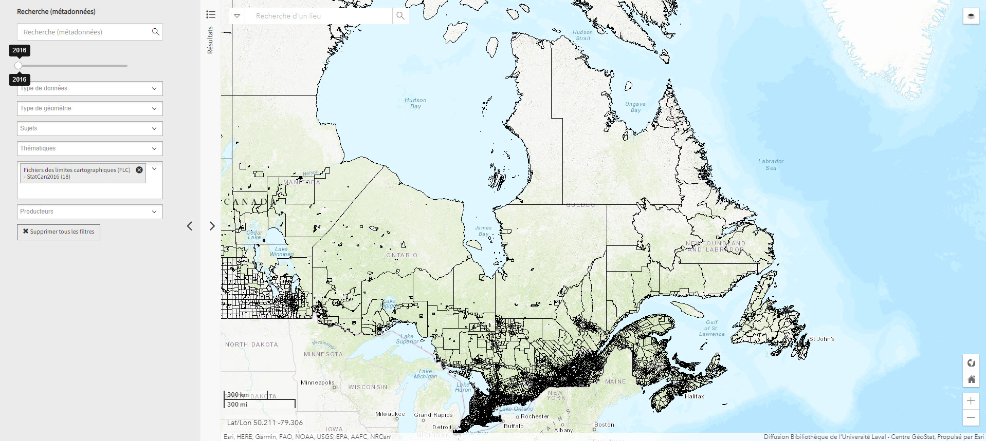
First Nation Profile Interactive Map (Gouvernement du Canada)
Map of Indigenous communities in Canada, with access to information about them.
Collection(s): *** Maps, Atlases and Geospatial Data ***, Maps and Atlases, Northern Canada, *** First Peoples of the North ***, Maps, Atlases, and Geospatial Data, Map and Atlases, Northern Canada
Free - Open Access, Humanities and Social Sciences
Subjects: Indigenous peoples, Maps, Band councils, Reserves
Géogratis – Index des produits géospatiaux
Access to the most common federal geospatial data for Canada, including the Arctic.
Collection(s): *** Maps, Atlases and Geospatial Data ***, Geospatial Data, Northern Canada
Free - Open Access, Humanities and Social Sciences, Natural Sciences
Subjects: Canada, Geospatial data
GéoInfo – Territoire nordique (Gouvernement du Québec)
Compilation of data on Northern Quebec, some of which is freely accessible.
Collection(s): *** Maps, Atlases and Geospatial Data ***, Geospatial Data, Northern Quebec, *** First Peoples of the North ***, Maps, Atlases, and Geospatial Data, Geospatial Data, Northern Quebec
Free - Open Access, Free - Reference only, Humanities and Social Sciences, Natural Sciences
Subjects: Cartography, Geospatial data, Northern Quebec
Historical atlas of the Arctic
Concordia (Print book) | Laval (Print book) | McGill (Print book) | UQAM (Print book)
An atlas presenting five centuries of polar exploration and mapping, from the first-ever print map of the region (Mercator, 1595) to contemporary mapping of the ocean depths using multibeam bathymetry.
Collection(s): *** Maps, Atlases and Geospatial Data ***, Maps and Atlases, Old Maps
Print Document, Humanities and Social Sciences
Subjects: Atlas, Cartography, Discovery, Exploration, History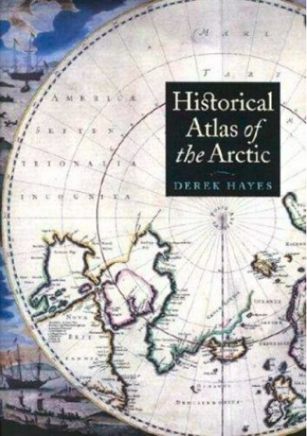
Historical maps: Arctic (BAnQ)
Corpus of fifteen old maps dating from the 17th to the 20th century. These documents bear witness to the Arctic expeditions and explorations carried out by several generations of European explorers in search of the Northwest Passage. These documents reflect the advancement of knowledge of the Arctic coastline of North America. The information on these maps is based among other things on the discoveries of Martin Frobisher, William Baffin, etc.
Collection(s): *** General Public ***, Maps and Atlases, Old Maps, *** Maps, Atlases and Geospatial Data ***, Maps and Atlases, Old Maps
Free - Open Access, Humanities and Social Sciences
Subjects: Maps, Cartography, Canadian arctic, Circumpolar Arctic, Greenland, Davis Strait, Hudson Strait, Baffin bay, Arctic archipelago, Northwest Passage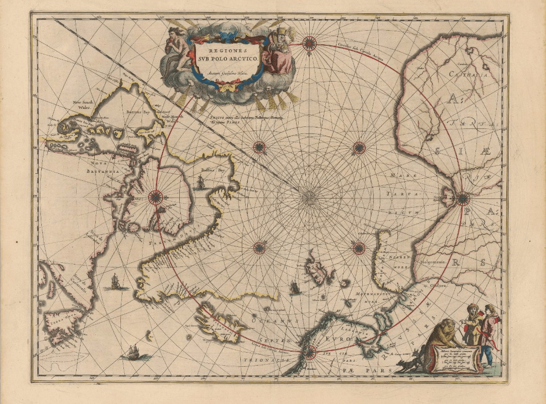
Historical maps: Circumpolar North (BAnQ)
Corpus of ancient maps of various kinds that represent the greater circumpolar region.
Collection(s): *** General Public ***, Maps and Atlases, Old Maps, *** Maps, Atlases and Geospatial Data ***, Maps and Atlases, Old Maps
Free - Open Access, Humanities and Social Sciences
Subjects: Northern Quebec, Circumpolar North, Nunavik, Nouveau-Québec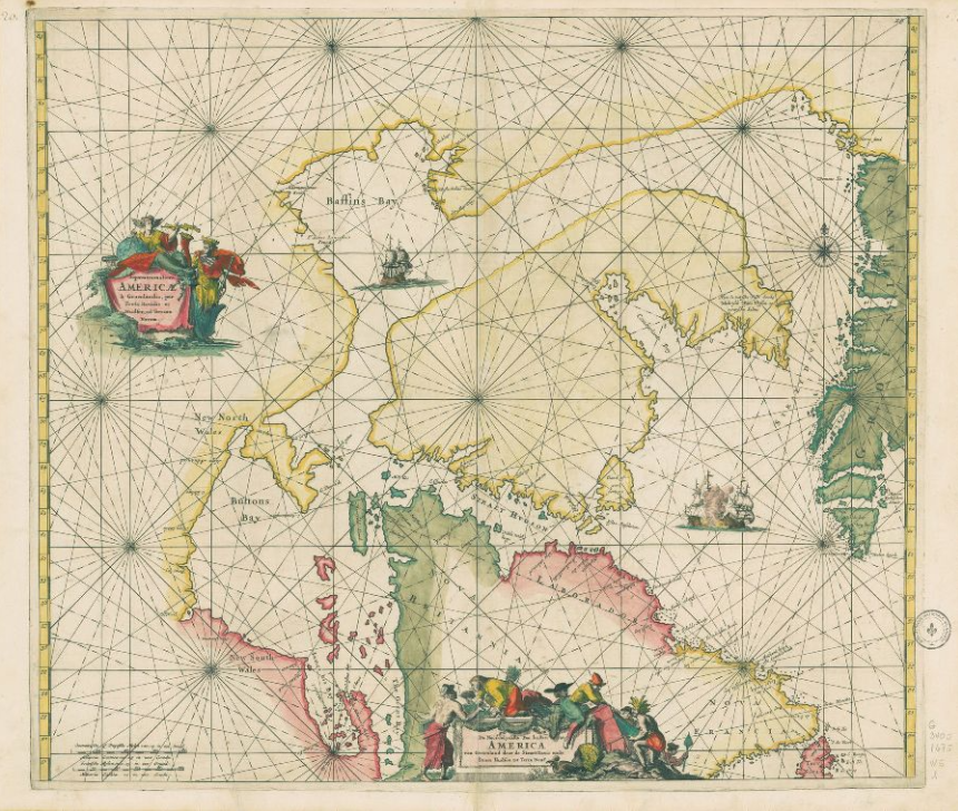
Historical maps: Hudson's Bay (BAnQ)
Corpus of historical maps dating from the 17th and 18th century and allowing to visualize the territorial evolution of Hudson Bay. Their representation of Hudson's Bay is inspired, among other things, by the explorations of Henry Hudson and Thomas James. These maps relate the French and English expeditions to this much coveted territory because of its strategic positioning for the fur trade in Europe.
Collection(s): *** General Public ***, Maps and Atlases, Old Maps, *** Maps, Atlases and Geospatial Data ***, Maps and Atlases, Old Maps
Free - Open Access, Humanities and Social Sciences
Subjects: Maps, Cartography, Hudson Bay, New France, Hudson’s Bay Company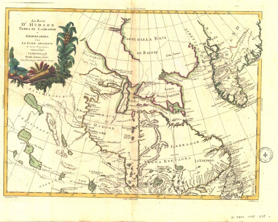
Historical maps: Strait of Belle Isle (BAnQ)
Corpus of ancient maps of the Strait of Belle Isle, including parts of the coasts of Newfoundland and Labrador.
Collection(s): *** General Public ***, Maps and Atlases, Northern Quebec, *** Maps, Atlases and Geospatial Data ***, Maps and Atlases, Old Maps
Free - Open Access, Humanities and Social Sciences
Subjects: Groswater Bay, Strait of Belle Isle, Labrador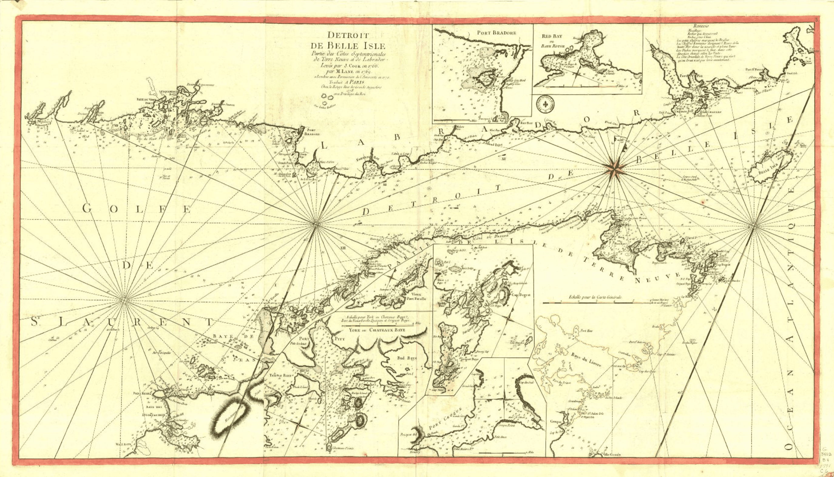
International Bathymetric Chart of the Arctic Ocean
Maps and bathymetric geospatial data of the Arctic north of the 64th parallel.
Collection(s): *** Maps, Atlases and Geospatial Data ***, Maps and Atlases, Circumpolar North
Free - Open Access, Natural Sciences
Subjects: Bathymetry, Maps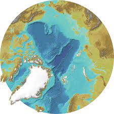
Inuit Nunangat (Government of Canada) (Gouvernement du Canada)
Map of 53 Inuit communities in Northern Canada.
Collection(s): *** First Peoples of the North ***, Maps, Atlases, and Geospatial Data, Map and Atlases, Northern Canada, *** Maps, Atlases and Geospatial Data ***, Maps and Atlases, Northern Canada
Free - Open Access, Humanities and Social Sciences
Subjects: Indigenous peoples, Maps, Inuit, Northern Canada
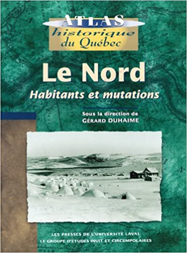
Le Nord : habitants et mutations
BAnQ (eBook) | BAnQ (Print Book) | Concordia (Print Book) | INRS (Print Book) | Laval (eBook) | McGill (Print Book) | UQAM (eBook) | UQTR (eBook)
Historical atlas with rich textual content about the inhabitants of the North (people of the North Shore, Innu, Cree, Naskapi, and Inuit), exploration of the territory, and its maps, as well as industrialization of the region.
Collection(s): *** First Peoples of the North ***, Maps, Atlases, and Geospatial Data, Map and Atlases, Northern Quebec, *** Maps, Atlases and Geospatial Data ***, Maps and Atlases, Northern Quebec
Print Document, Reserved Access, Humanities and Social Sciences
Subjects: Atlas, Indigenous peoples, Maps, Migration, Northern Quebec